
V52 App
Search. Analyse. Verify. Visualise.
The V52 app is your ground station for satellite investigations: imagery, geodata and analysis tools in one place, built for journalists and human rights organisations. Every step is documented, and our analysis team supports you when the work gets difficult.
Become a member Log in to V52 App
Rather talk first? Talk to us →
Four modules. One workflow.
From the first search to a documented finding: the V52 app covers each step of your investigation.
-
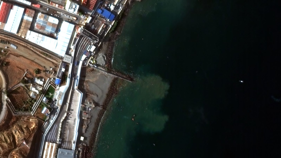
Pléiades Neo · 0.3 m Archive & tasking
01 — Access
More than 20 satellites, one point of access
Mark your area of interest, tell us about your investigation in confidence – we source the best imagery and data.
-
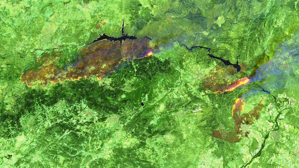
Sentinel-2 · False colour Burn scar analysis
02 — Analysis
Analysis for your location
Our remote sensing experts detect change, count objects with AI and monitor environmental damage – scientifically validated and ready to publish.
-
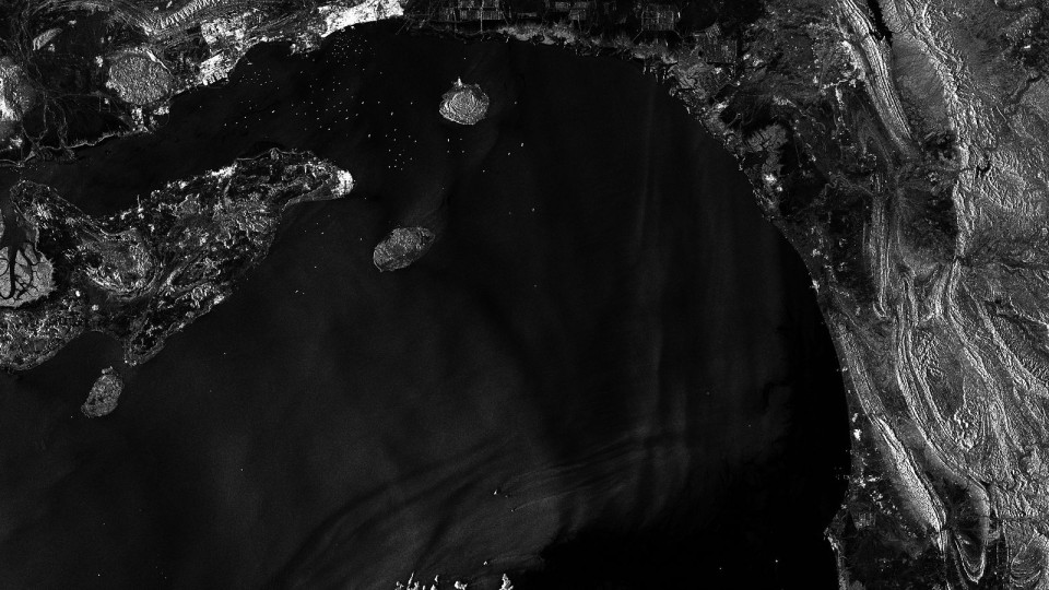
Sentinel-1 · Radar Verification toolkit
03 — Verification
Real or fake?
Our verification toolkit detects manipulated and AI-generated satellite imagery – so you can rely on every image you publish.
-
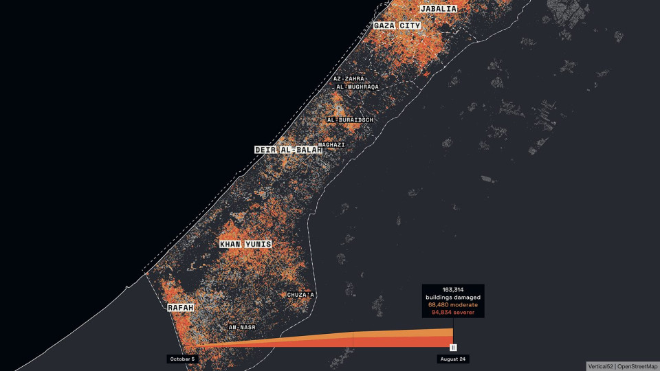
04 — Visualisation
Images people understand
Interactive maps, before-and-after sliders, publication-ready graphics – every result with metadata and sources, for full transparency.


A look inside your ground station.
All investigations, images and analyses in one place, as a list, grid or map. Invite your team to a shared workspace and work on the same images together.

Explorer
All investigations at a glance
Every request with preview, status and results – as a list, as tiles or on the map.
- Views
- List · Grid · Map
- Filters
- Status · Date
- Status
- Incoming → Done
- Sources
- SkySat · PlanetScope

Live-Chat
Talk directly to our analysts
Each investigation has its own chat: request, follow-up questions and image suggestions in one place.
- Response
- Live, within minutes
- Context
- Search area & period
- Download
- Search area as GeoJSON
- Storage
- Files & results

Map view
Satellite imagery on the map
The delivered scene sits precisely on the basemap – adjust brightness, contrast and colours right there.
- Layers
- Scene · Area of interest
- Adjustments
- Brightness · Contrast · Saturation
- Colour
- Band order RGB / BGR
- Export
- Download asset

Data visualisations
Analyses as a map layer
Results such as building damage appear as their own layer – with a colour scale and legend of your choice.
- Data type
- Numeric · Categories
- Colour scales
- Sequential · Diverging
- Binning
- Equal interval
- Legend
- Custom labels

Annotations
Comments right in the image
Mark spots in the satellite image and discuss them with your team and our analysts.
- Markers
- Point · Area · Label
- Comments
- With name & date
- Status
- Open · Resolved
- Shared with
- Team & analysts
From area of interest to investigation in four steps.
-
Step 01
Request
Mark your area and state your research question, in the app or in a conversation with us.
-
Step 02
Find
We search the archives for suitable imagery and data. If nothing fits, we request a new acquisition, which takes longer.
-
Step 03
Analyse and verify
Our analysts evaluate the data: what has changed, when and where. Where needed, we check the imagery for signs of manipulation.
-
Step 04
Deliver
You receive annotated maps and sliders with metadata and sources, and a note on what the data can and cannot show. Standard turnaround depends on your membership and does not include new acquisitions.
Access to the Vertical52 app
Start your investigation.
Sign up for free and get access to the Vertical52 platform. Explore satellite data and analysis tools. If you want to commission an investigation, choose one of our paid memberships.